V
主页
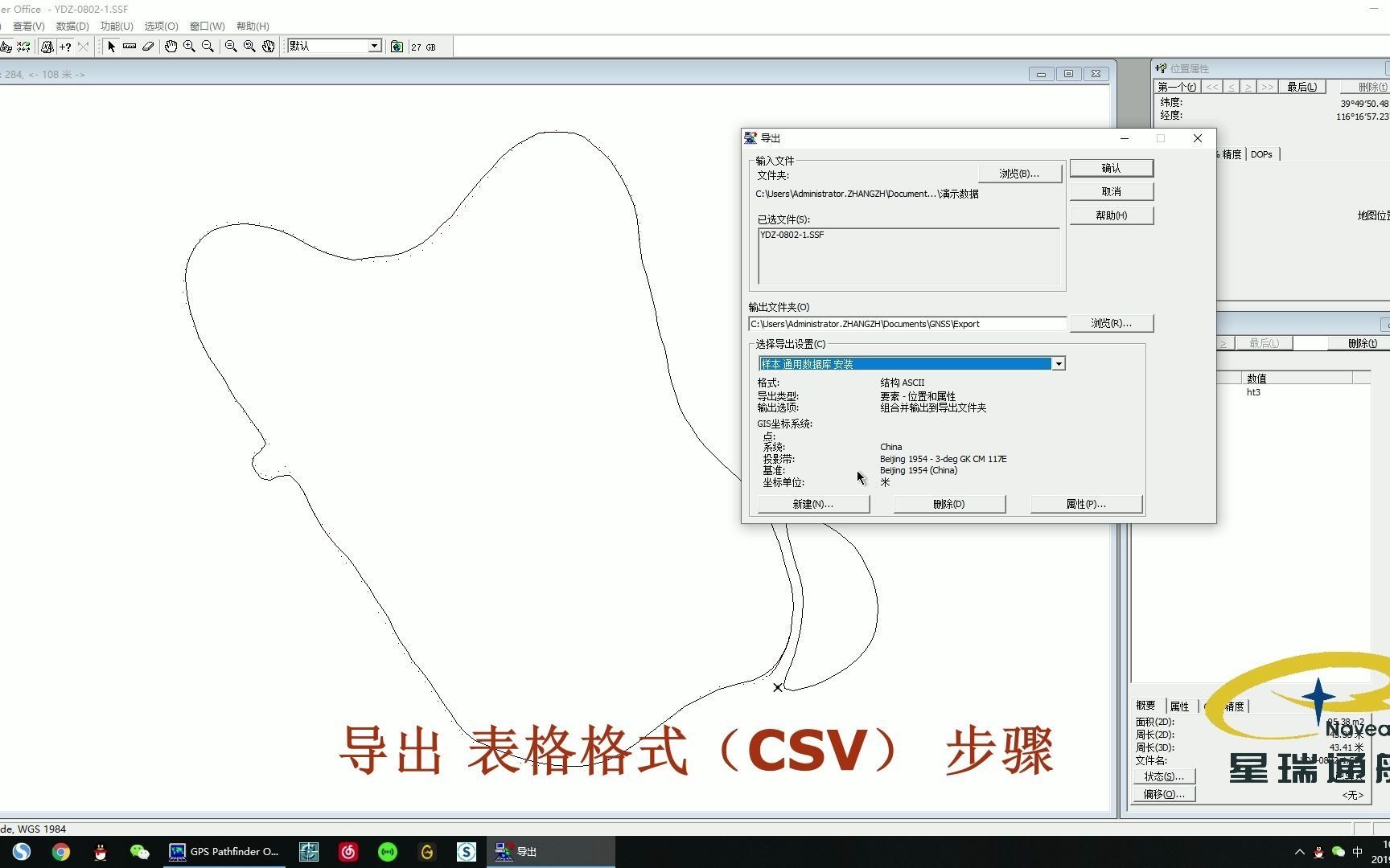
Trimble天宝GPS Pathfinder Office软件数据导出教程
发布人
Trimble天宝GPS Pathfinder Office软件数据导出教程
打开封面
下载高清视频
观看高清视频
视频下载器
Trimble天宝GPS Pathfinder Office软件坐标系统创建+点矫正教程
Trimble天宝 手持机TerraSync软件数据采集教程
集思宝G6系列手持机GPS定位仪使用教程
Trimble Realworks地理坐标匹配教程
Trimble天宝 GEO 7X手持GPS连接Cors差分教程
Trimble Realworks 手持Slam三维激光扫描仪数据与无人机航测数据融合处理演示
天宝Trimble 手持机TerraSync软件设置SBAS教程
集思宝Mobile GIS软件数据导出教程
地图书编辑器小技巧:添加图片底图
做了一个ESP32C3简易GPS码表
【D531】上海三菱Elenessa ELE/OEN 自然博物馆全部客梯合集
cesium按需加载
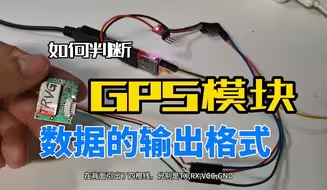
如何判断GPS模块数据的输出格式
便携导航路径显示
06导入控制点及刺点操作、优化空三
Trimble天宝光谱精密激光水平仪接收器拆解
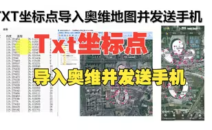
TXT坐标点导入奥维地图并发送手机奥维
[开源]江科大框架STM32 GPS经纬度获取实现(ATGM336)
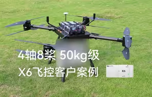
X6开源飞控打造50kg级四轴八桨共轴无人机,具备GNSS抗干扰与抗诱骗功能
04MetaShape新建工程及设置
开源!STM32项目—GPS定位篇
GPS模块研究取得重大突破 ,成功获取到GPS卫星数据 #卫星 #GPS #定位
拆解 专业激光水平接收器Laser Level Receiver 自动化坡度控制 自动混凝铺设 Trimble Somero
主测给我三天时间学会水准仪、全站仪、经纬仪、GPS的使用 这不轻轻松松嘛
Trimble Realworks点云拼接教程-手动拼接
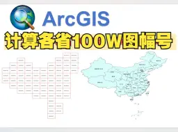
ArcGIS计算全国各省100W接图表图幅编号(附带数据)
天宝TX8 电力线扫描效果展示
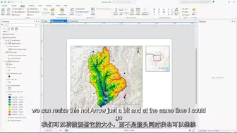
使用ArcGIS Pro制作地图
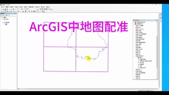
1.4 ArcGIS中地图配准
【UP城规君的教程】第1周_用ArcGIS查阅“一张底图”
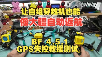
让自组穿越机也能和大疆avata一样自己返航~BF 4.5.1固件 GPS失控救援测试
Trimble Realworks点云拼接教程-自动拼接
SDR 教程 —— 用 HackRF 实施 GPS 欺诈
1.1 ArcGIS创建1:1万地图格网
【D589B】上海三菱Elenessa ENE 青岛北站地铁站无障碍电梯
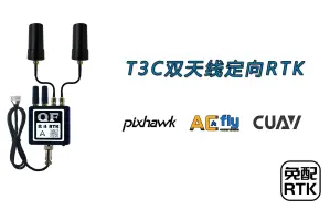
ArduPilot自动驾驶系统使用QFRTK高精度定位定向GPS双天线RTK
CSGC2000 3度带及6度带中央经线快速查询
【下载】790mb全国主要城市建筑白模Cesium+gltf浏览代码,可修改贴图材质
9.7「辣晚报」北斗挑战GPS 已有赢面!
号称抵押车的标配产品GPS远程定位三元拿下拆解内部结构